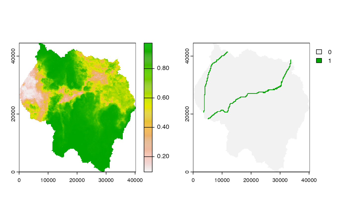
habitat.tif is a raster containing habitat suitability values where each cell
takes on a value between 0 and 1.
habitat_roads.tif is a raster with the exact same footprint as 'habitat.tif',
but the values represent the presence/absence of roads in that cell. 1 indicates
presence, while 0 indicates absence.
Format
GeoTIFF
Details
These rasters are included for two reasons. First, they provide the datasets
that are used for the code examples in the help files and the vignettes.
Second, they provide easy-to-access datasets for users to experiment with
when learning how to use the quadtree package.
Examples
library(quadtree)
habitat <- terra::rast(system.file("extdata", "habitat.tif", package="quadtree"))
habitat_roads <- terra::rast(system.file("extdata", "habitat_roads.tif", package="quadtree"))
old_par <- par(mfrow = c(1, 2))
plot(habitat)
plot(habitat_roads)
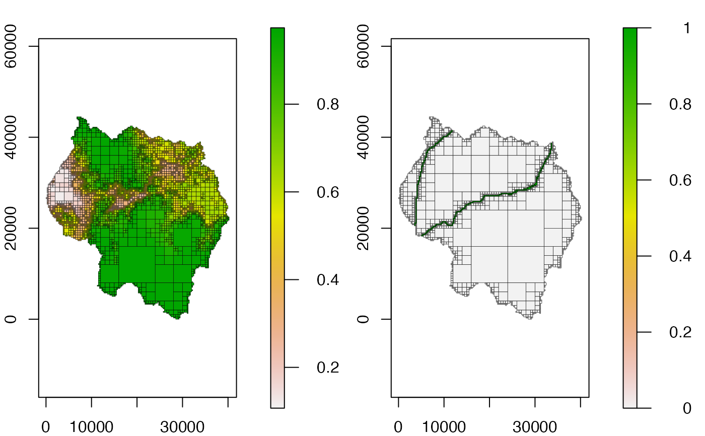
 qt1 <- quadtree(habitat, .1)
qt2 <- quadtree(habitat_roads, .1)
plot(qt1, crop = TRUE, na_col = NULL, border_lwd = .3)
plot(qt2, crop = TRUE, na_col = NULL, border_lwd = .3)
qt1 <- quadtree(habitat, .1)
qt2 <- quadtree(habitat_roads, .1)
plot(qt1, crop = TRUE, na_col = NULL, border_lwd = .3)
plot(qt2, crop = TRUE, na_col = NULL, border_lwd = .3)
 par(old_par)